I made it to Santa Teresa New Mexico!
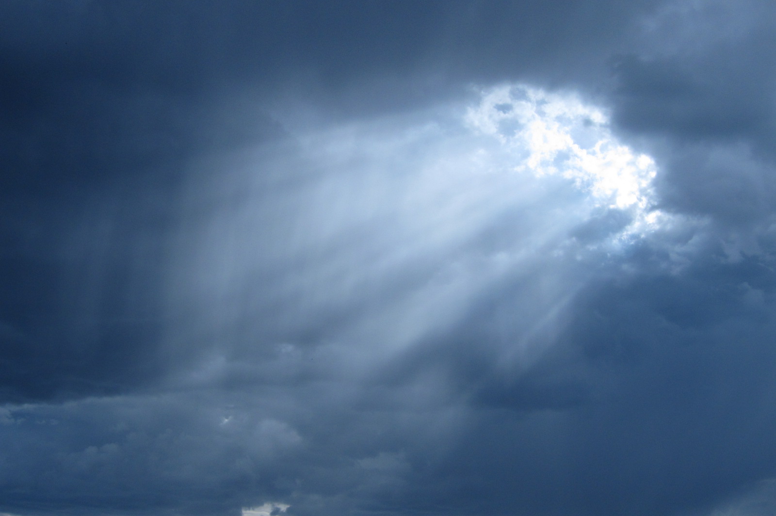
 This is what I saw when I checked the weather yesterday morning. The blue line was my planned route and guess what direction that large area of thunderstorms was moving . . . SOUTH. I plotted a new route further south to see if I could pull off the same thing I did a week ago when flying back from Oshkosh. It did not work out quite as well. I was getting squeezed between a low scattered to broken layer and a higher overcast layer so I had to turn due south and to get away from the advancing storms.
 I landed in San Marcos Texas and I had the airplane secured as the storms approached. I took the courtesy car into town and bought a foot long sandwich at Subway thinking I could save half for dinner. By the time I got back to the airport it was pouring down rain and the winds were picking up. I could see on radar that it would move through quickly and then my route west would be clear. So I enjoyed some freshly baked cookies and relaxed.
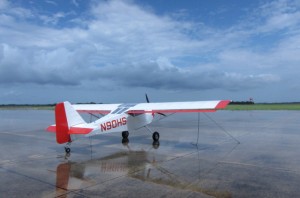 As soon as the rain broke I headed out to Niner-Zero to get ready to depart. There was some water in the cabin as I did not have time to put the cover on. But I have been through this drill before and I now keep a large sponge in the baggage compartment. I also wiped her down on the outside since she was already wet and the smashed bugs had softened up a bit. The blue sky you see IS in the direction I am heading!
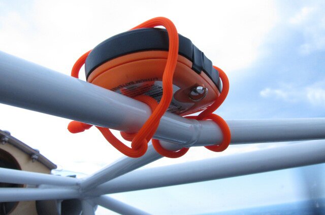
 I also was able to check my SPOT tracking while on the ground and it is working. This is the actual tracker. I have it “mounted” over my head for easy access and a clear view of the sky. If you want to see my route there is a link at the top of this page (Where Am I?).
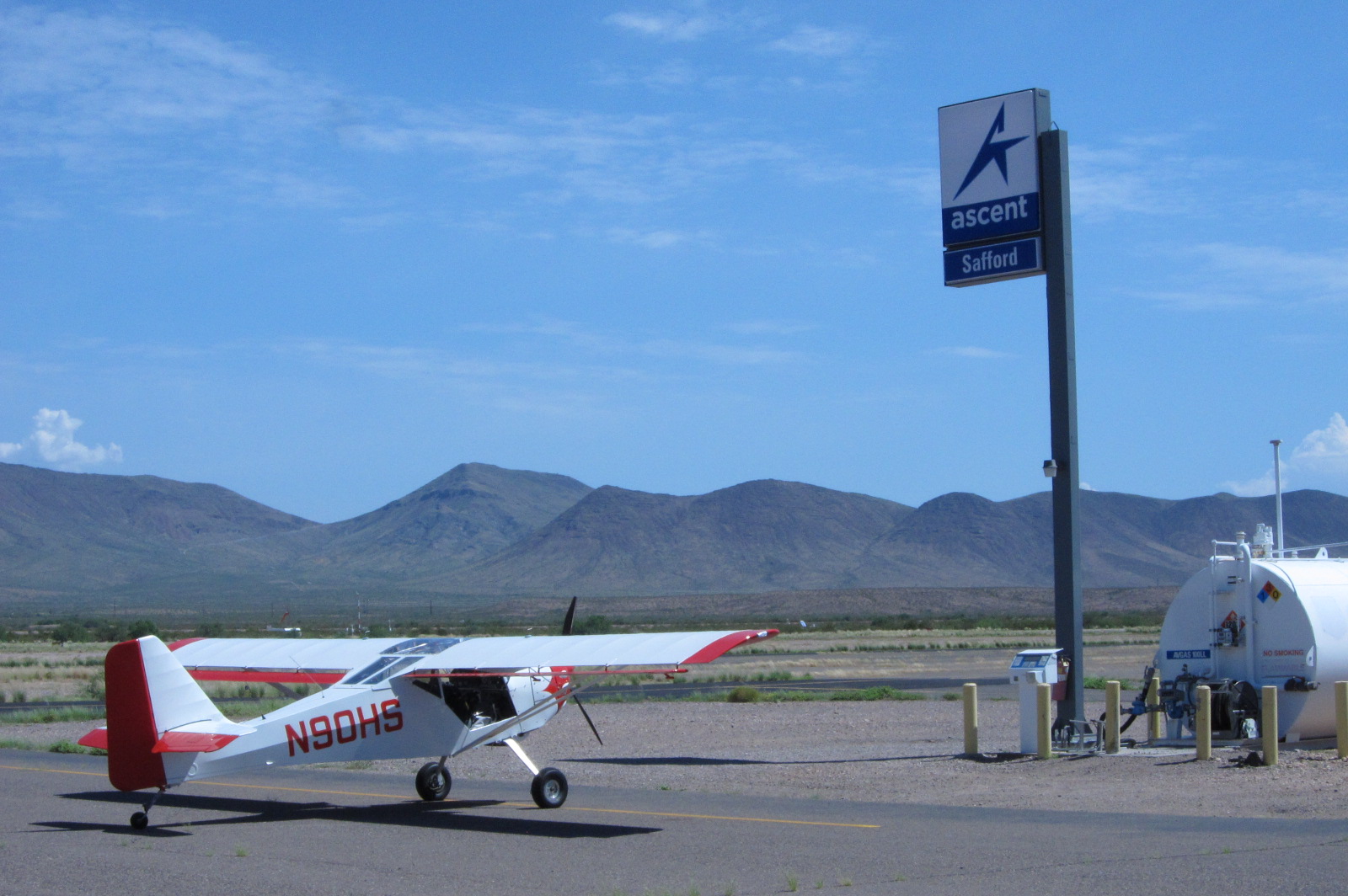
 Next stop, Irran Texas. Directly on my route of flight, about 3 hours from San Marcos and reasonably priced fuel. Those are basically my criteria for a quick fueling stop. Internet is nice if the weather is an issue but it was not. The airport at Irran is larger than the town and is pretty much attached to it as the final approach for runway 14 was directly over the town. The turn from base leg to final was over the west edge of town and the threshold of the runway is at the east end of town. Like I said, small town. I did have some trouble finding the wind sock. I finally saw a small one by the fuel pump and after I landed I saw the remnants of a larger on beside the runway. Shredded to pieces by the wind. I had to call someone to come out and sell me fuel so I relaxed in the shade of the small restroom building. After about 40 minutes a lady came out and helped me refuel. The locals have keys and fuel themselves and she had an old fashioned credit card imprinter and told me that she had not done this in many months. The pump kept shutting down but I finally got 12 gallons pumped into NIner-Zero and I was ready to go.
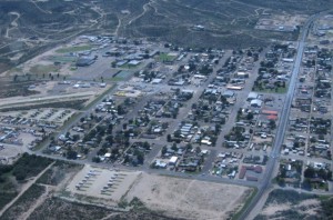 I took this climbing out of Irran while making a 180 degree turn to head west. That is pretty much the entire town. On the left side you can see the runway I landed on and the fuel ramp.
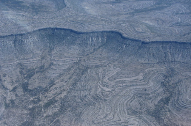
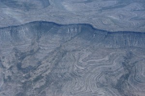 The scenery sure has changed drastically in a few short hours. Stark but beautiful. The terrain kept rising and I climbed along with it. Eventually reaching 10,500 feet to cross the mountains just south of Guadalupe Peak which is charted at 8,750 feet. I passed just to the south where the terrain is about 6000 feet. The ride was smooth and the air was a cool 67 degrees. On reaching 10,500 feet the density altitude was 13,000 feet and I was still climbing at just over 600 feet per minute. I could have gone much higher. Nice to know.
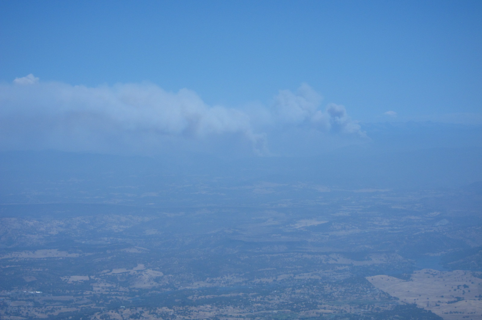
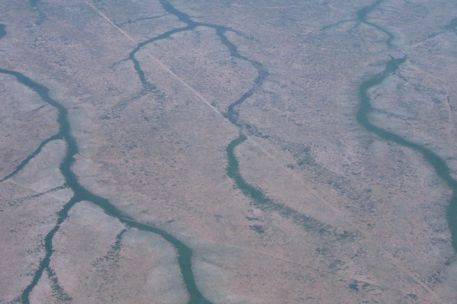
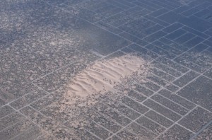 After clearing the mountains I descended towards El Paso. There were some thunderstorms in the area but I was able to avoid them. I saw these sand dunes about 20 miles east of El Paso. I contacted El Paso approach as I planned to fly pretty close to their airport on the way to the Donna Anna County Airport. They had me descend to 6,500 feet which put me below the mountains on the west side of El Paso. So I had to fly just south of the mountains and just north of the Mexican border. As I rounded the corner at the extreme southern tip of the mountains the airport came into sight and I said good bye to approach control and landed.
Upon landing I taxied to Francis Aviation where I was met by Erik who guided me to a parking spot and fueled my plane. They were officially closed for the day but Eric was still there enjoying a drink with the new owner, Tyler. After fueling Niner-Zero they helped me push her to a parking space with a roof over it as there were some storms on the area. That way I could skip the cover on, cover off drill. They even offered my a place to spend the night so I could skip the tent drill also. I was a bit relieved as I could hear the coyotes out in the desert.
 I then joined them for a drink on the deck while watching the sun set. Tyler was a bit jealous of my adventure as he had planned to skydive into Burning Man but other responsibilities got in the way. Maybe next year Tyler? I can’t say enough about my experience at Francis Aviation. If you are passing through, don’t pass up the chance to stop.
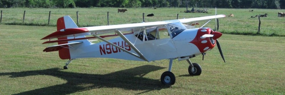
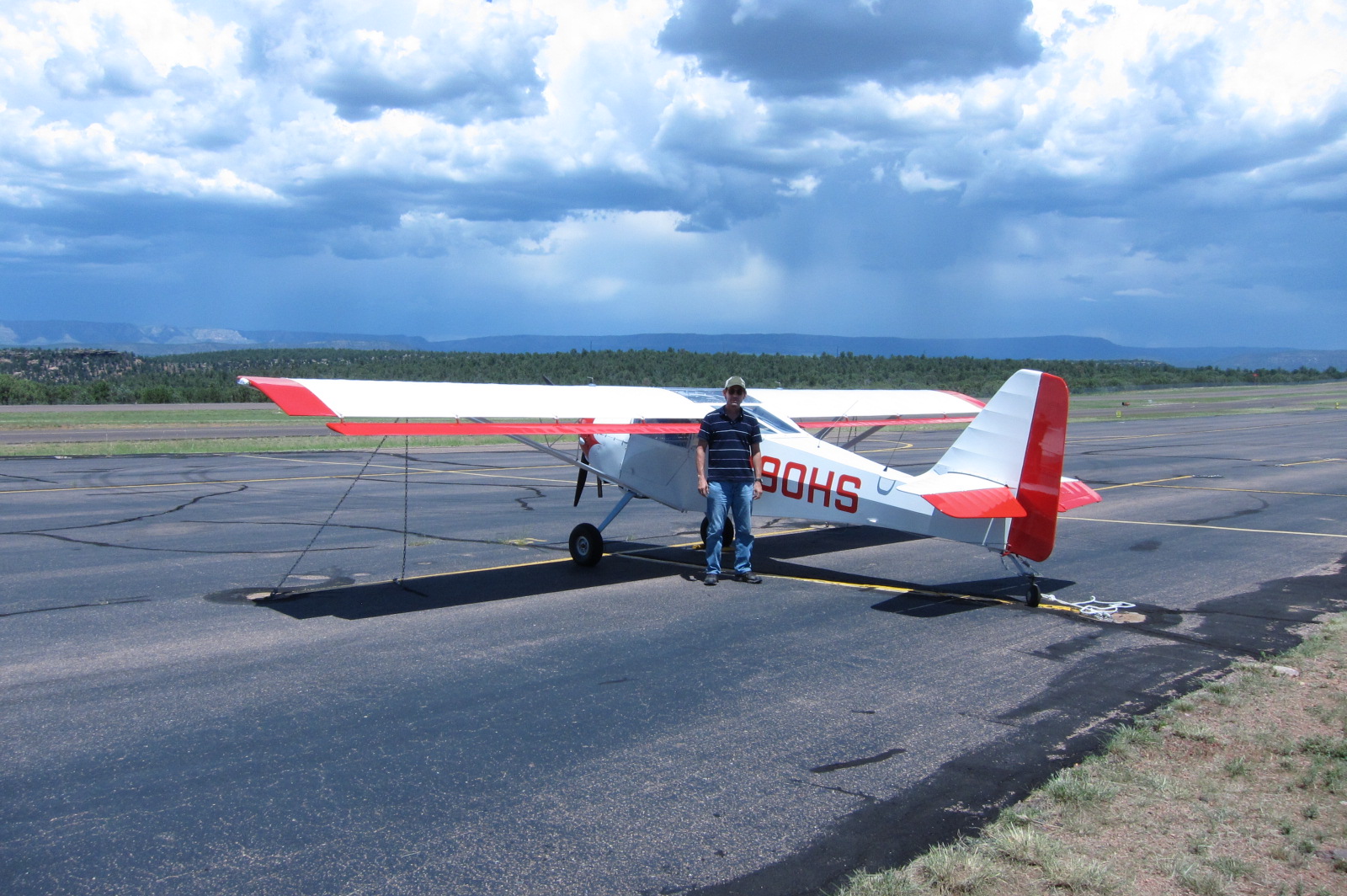
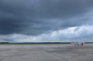
 After changing the oil I tied my airplane down on the ramp. There are some rain showers visible in the background of this picture. Shortly thereafter a Cessna 172 landed that was being flown by a pilot I know from Coulter Field back in Texas. He and his wife are on their way to Seattle. The three of us took the courtesy car into town for lunch.
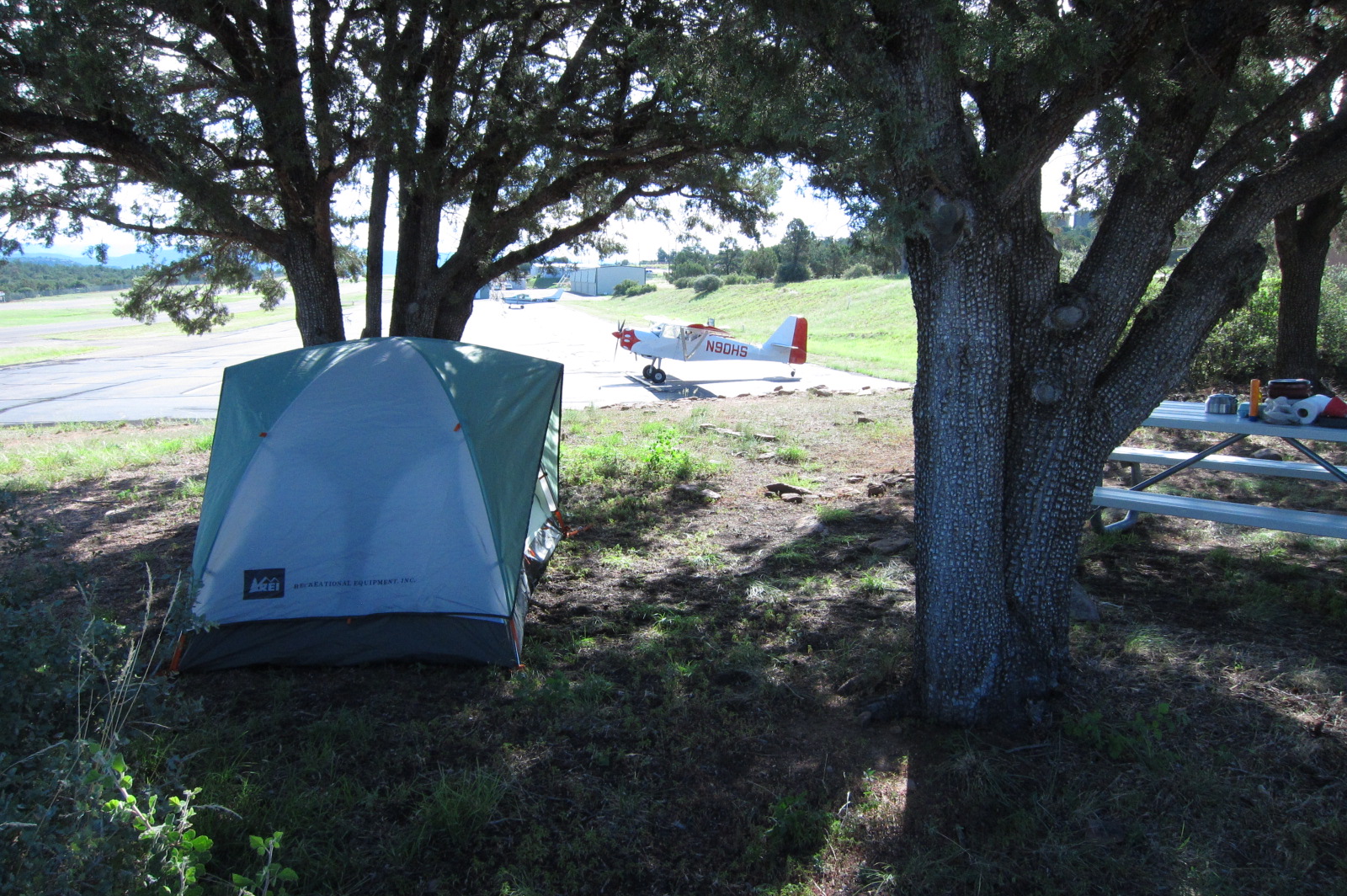
 Tomorrow morning I leave for Burning Man, only 70 miles away. In the meantime, it is supposed to get down into the 40’s tonight but I have found a comfortable couch to sleep on so I won’t have to deal with the tent tonight.
 Burning Man is just over that mountain!