The weather cleared sufficiently to depart by about noon and I was in the air just before 1:00. I had to follow the interstate to get through the mountains west of town as the peaks were still in the clouds. I climbed up to 8,500 feet and once once the other side turned north west toward another mountain pass about 60 miles away.
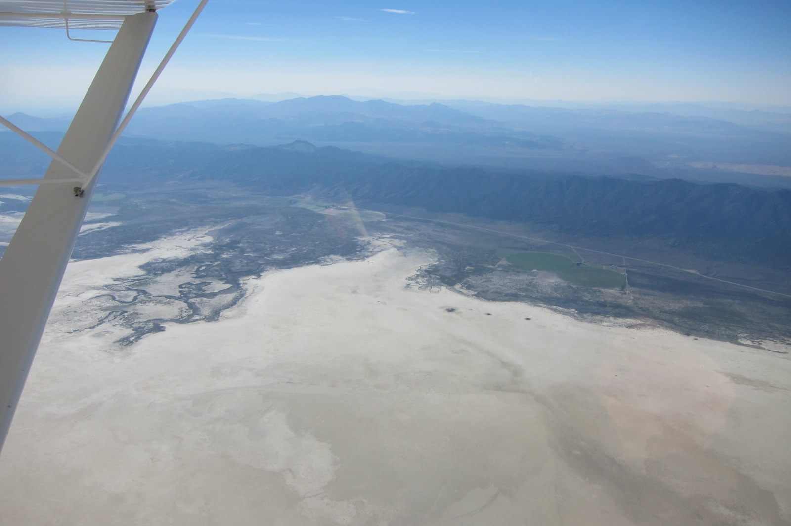 The valleys between the mountain ranges were often dry lake beds. Desolate but with plenty of places to land. The next couple of moutain ranges were progressively higher so after I cleared the clouds I climbed up to 10,500 feet.
 I liked to give myself at least a couple of thousand feet above the higher peaks on each side of the passes so don’t get the idea that I was flying low between the peaks. I had a slight head wind and as I aproached the mountain ranges I encountered a bumpy downdraft that I was not able to outclimb and as I passed the peaks I got the same treatment in reverse and would suddenly be climbing at 1000 feet per minute. Roughly to the same altitude I started at. My EFIS computed the winds to be about 15 knots crossing the ranges at about a 45 degree angle to the ridge line.
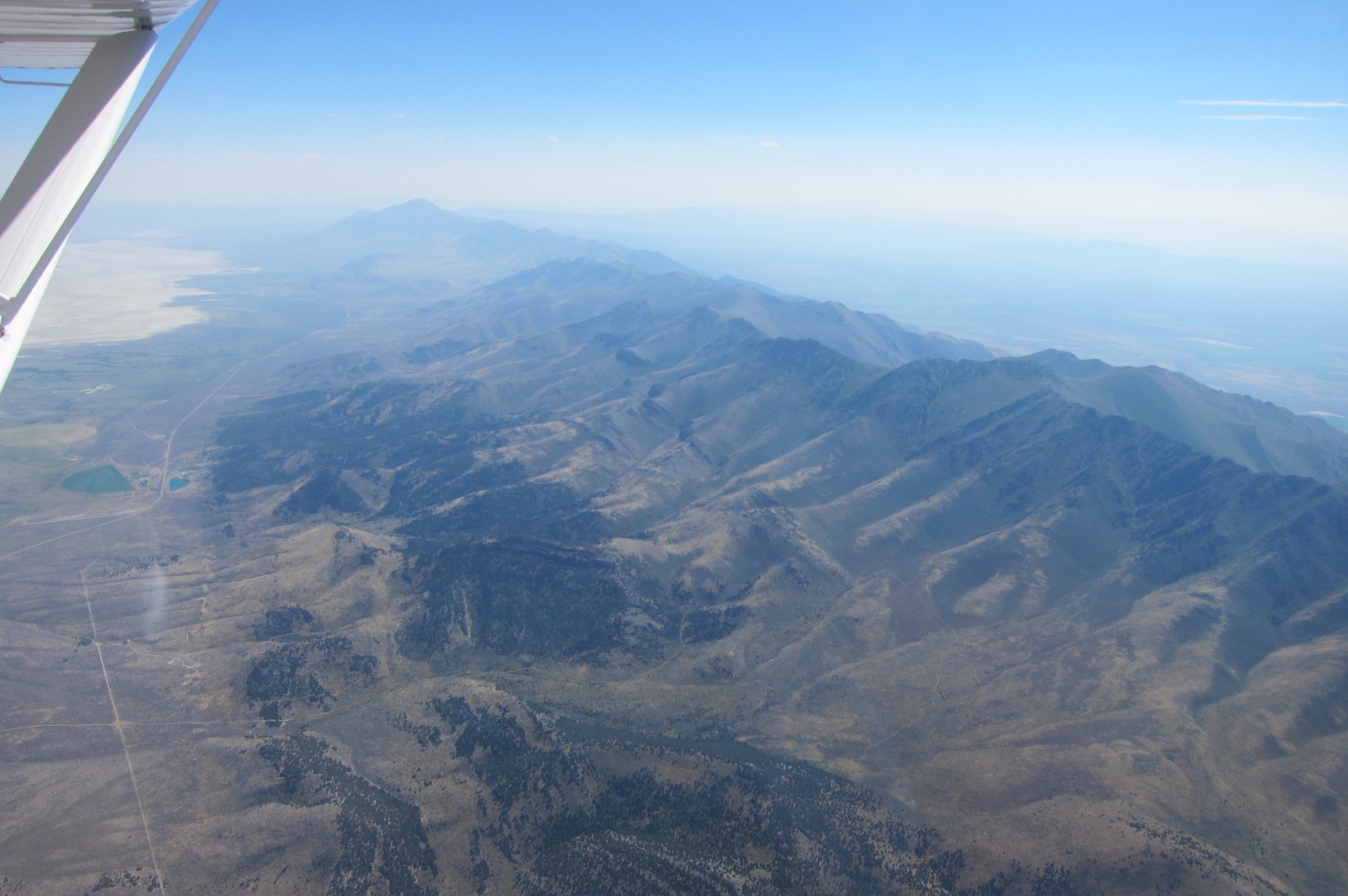
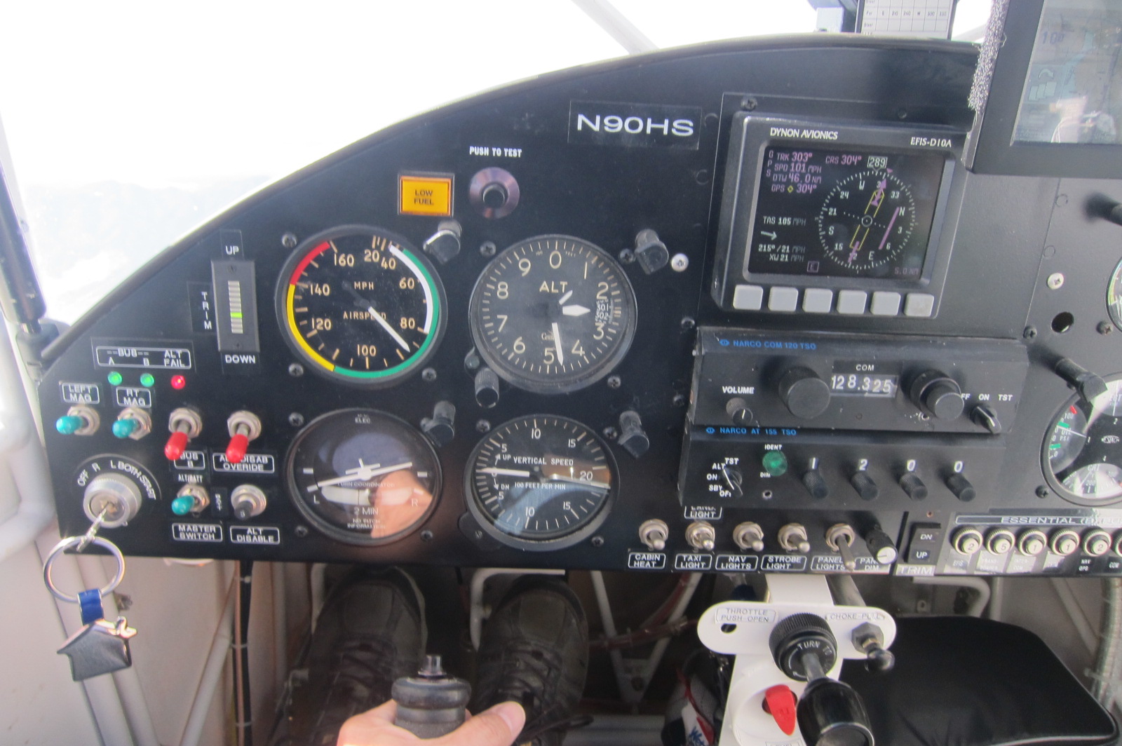 For the third large range, they call this the “basin and range” region, I climbed to 12,500 feet. This time I was wearing my sweatshirt and had the heat on and it was sunny but the outside air temperature was 41 degrees so I was a little chilly. At this point I realized that even though I could make it all the way to Winnemucca that a fuel stop was in order. What if for some reason I could not land there? So I made a minor diversion to Ely Nevada and bought fuel. When I paid I realized that I had flown into another time zone and gained an hour. I should arrive in Winnemucca arund 5:00 and not 6:00 which was important as the FBO closes at 6:00 and I was thinking of borrowing a courtesy car and actually driving into town and getting a room and taking my first shower since I left Texas. Also my last for a week.
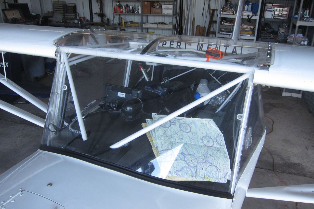
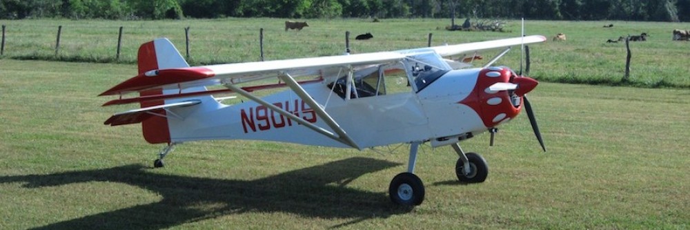
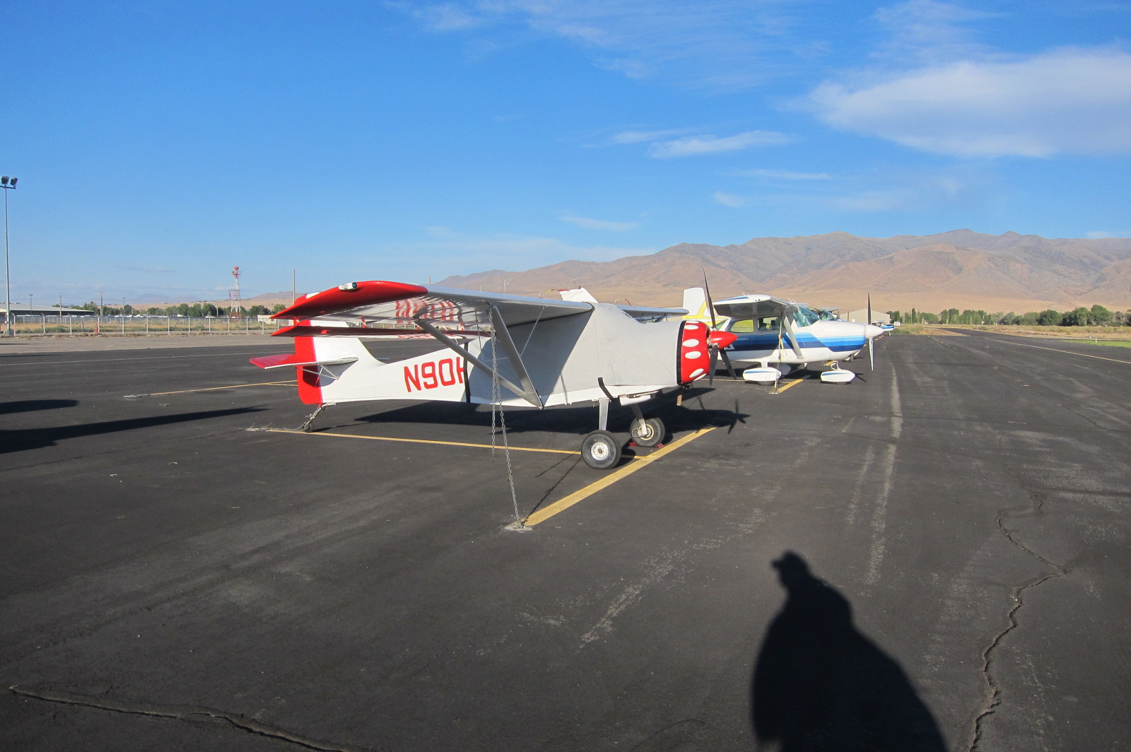 The flight to Winnemucca was less than 2 hours and the mountains were much lower. I fueled up and covered the airplane for the night and met one other pilot flying a trike to Burning Man. Tom flies pretty much in the open air wearing very heavy clothing. He had to climb to 13,000 feet on his flight from Colorado.
The woman running the operation at the airport, Natasha, was going crazy about the time I arrived as it was the end of a busy day and she had way to many things to take care of and too many people needing atention. But she told me a car would be back before closing and feel free to take it into town for the night. Definitely a hotel night.
 After checking in it was suggested that I eat at the Martin Hotel. Great suggestion. I was able to sit at a large table with several other parties. The couple next to me, Kate and Paul, were heading to Burning Man for the first time and for their honeymoon! Except for the entree all of the food was served family style and in unlimited portions. These “sides” included wine, bread, soup, salad, beans, chicken stew, corn and mashed potatoes. By the way, the beans go on top of the salad. Try it some time, reallly good.
So we had a great time and they had a lot of questions. But, they had 150 more miles before they got to their hotel. I just then realized that although Winnemucca is really close to Black Rock City from the air it is not very close by land. The entrance to the festival is on the other side of the playa. They also will have a long wait in line.
Well, it is now 6:30 Sunday morning and time to head back to the airport and take off for 88NV. This may be my last post until after the event.